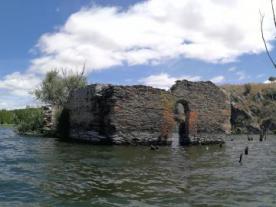
Aceña de San Andrés
- Vía de la Plata desde Sevilla / Zamora-Granja de Moreruela
- Camino Sanabrés desde Granja de Moreruela / Granja de Moreruela-Tábara
ACEÑA DE SAN ANDRÉS (Not accessible on foot)
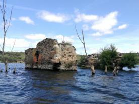
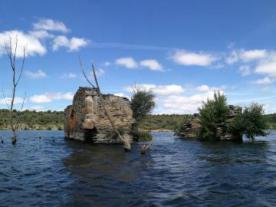
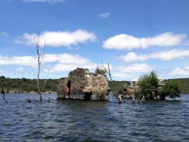
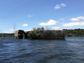
The Aceña de San Andrés is practically covered by the waters of the River Esla on its left bank.
The construction of the dam flooded this river area and it is now difficult to access on foot.
Until not so long ago, cereal was milled in this mill using the power of the water of the river Esla. The operation was based on vertical wheels introduced into the current of the river that were moved by the force of the water, which hit against the cutwater and diverted the flow to each of the stones of these mills. The dam directed the flow towards the fishery, as these constructions were also used as a place to catch fish.
Within the municipality of Granja de Moreruela, there are still remains of mills, dams, reed beds and fishing huts built in stone from the sierro during the Middle and Modern Ages.

 Printing...