Archivo Municipal Histórico
Heritage cataloging: Casas Históricas
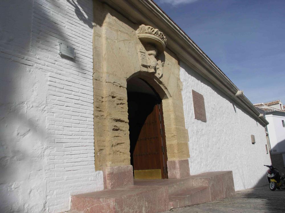
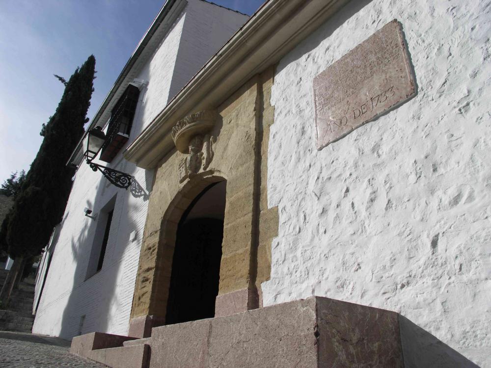
Locality: Antequera (Málaga)
Path and stage:
- Camino Mozárabe desde Málaga / Villanueva de la Concepción-Antequera
- Camino Mozárabe desde Málaga / Antequera-Cartaojal
Address: Calle Barbacana, 6
Coordinates: 37.0168491, -4.5567797
Distance to the center of the population: 0.2 km
 Printing...
Former granary, a building that was used to store surplus grain, to provide supplies in times of famine, then it was used as a prison during the Civil War, until today it has been adapted for use as the Municipal Historical Archive of the city of Antequera. (+info) https://turismo.antequera.es/ver-y-hacer/lugares-de-interes/
Contact
Fixed: +34952708152
E-mail: archivo@antequera.es
Closing days
Closed: Saturday, Sunday
Services
Accessible reduced mobility: YES
Visits
Free: YES
Gallery

