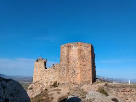
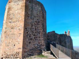
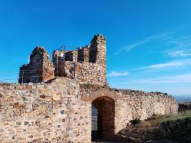
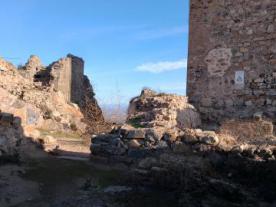
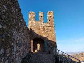
Castillo - Fortaleza Medieval de Magacela
Heritage cataloging: Lugar Arqueológico
Locality: Magacela (Badajoz)
Path and stage:
- Camino Mozárabe desde Almería / Campanario-Don Benito
- Camino Mozárabe desde Almería / Campanario-Don Benito
Address: Cerro del Castillo
Coordinates: 38.895841, -5.738007
Distance to the nearest axis of the path: 0.7 km
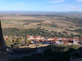
Perched on the top of the hill on which the village sits, the fortress has been built and extended in different historical and social circumstances. The building is fully adapted to the topographical conditions of the terrain and dominates the town from the top of the hill. More information: https://magacela.es/plantilla.php?enlace=castillo
Contact
Fixed: +34924853011
E-mail: ayuntamiento@magacela.es
Closing days
Closed: Does not close
Services
Pets allowed: YES
Visits
Free: YES
Digital tools
QR code: YES

 Printing...