Castro da Acea
- Camino Sanabrés desde Granja de Moreruela / Xunqueira de Ambia-Ourense
Location. A Acea, Outeiro do Castro in the parish of Santo Estevo de Ambía.
Type of monument. Residential and defensive monument. Of historical, scenic and ethnographic interest.
Dating. Undetermined. Iron Age: 1000-500 BC.
Description
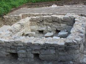
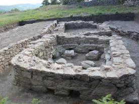
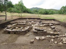
This is a castrex site with an elliptical shape (190 x 150 metres), located on a hilltop at an altitude of 561 metres above the River Arnoia. On the surface we find dark-coloured ceramic remains. Its upper part, called the crown, is flat and has three different levels of height, which normally correspond to different uses of human activity, in addition to the common function, such as defence. The upper crown is protected by a small stone wall with a height of five metres at the highest point and surrounded by an embankment. To the south, only an embankment and a moat are visible.
The nearby paths are made of well-carved stone walls, unworthy of a remote, uninhabited area, so it is assumed that they are stones reused from the castro.
Several petroglyphs of an abstract type have been found in the area. Almost in the centre is a boundary marker formed by a triangle with a small basin inside.
As a curiosity, it is the dividing mark between the municipalities of Baños de Molgas and Xunqueira de Ambía.

 Printing...

