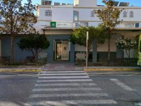
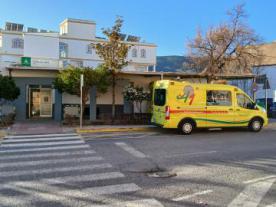
Centro de Salud de Abla
Locality: Abla (Almería)
Path and stage:
- Camino Mozárabe desde Almería / Alboloduy-Abla
- Camino Mozárabe desde Almería / Abla-Hueneja
Address: Calle General Rada
Coordinates: 37.14302422991, -2.7746208747835
Distance to the center of the population: 0.5 km
Health centre with emergency services. Open 24 hours a day from Monday to Sunday
Contact
Fixed: +34950359530
Closing days
Closed: Does not close
Services
Accessible reduced mobility: YES

 Printing...
