Cerro de la Cruz
Heritage cataloging: Militar
Locality: Roales (Zamora)
Path and stage:
- Vía de la Plata desde Sevilla / Zamora-Granja de Moreruela
Address: Calle Cerro de la Cruz
Coordinates: 41.551574, -5.766511
Distance to the center of the population: 0.5 km
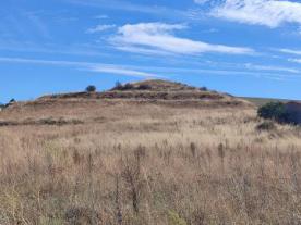
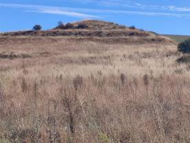
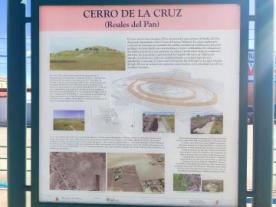
This hill stands out slightly above the Valderrey stream, which, due to its geological profile with visual dominance, had defensive characteristics that were used in the Middle Ages by a military settlement.
Two concentric rings were formed around the hill, enclosing a space where there was once a tower.
The destruction of this enclave came at the beginning of the 20th century due to the agricultural expansion of the fertile valleys of the River Duero and the River Valderaduey.
Historically, pilgrims have made use of this area to make a stop along the way, given the proximity of the Vía de la Plata, which was previously the Roman road that crossed the peninsula from north to south.
Closing days
Closed: Does not close

 Printing...

