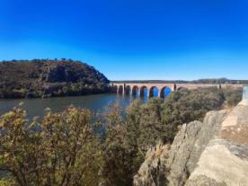
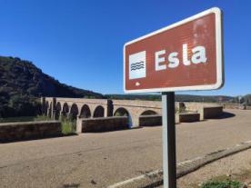
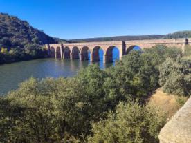
Puente Quintos
Heritage cataloging: Centro Histórico
Locality: Faramontanos de Tábara (Zamora)
Path and stage:
- Vía de la Plata desde Sevilla / Zamora-Granja de Moreruela
- Camino Sanabrés desde Granja de Moreruela / Granja de Moreruela-Tábara
Coordinates: 41.845455, -5.783285
Distance to the center of the population: 0 km
Built in 1920 over the Esla River, it links the regions of Tierra de Campos and Tábara, and its architectural structure is solid, made of masonry stone and has nine semicircular arches. It is located in a privileged natural environment of great environmental and arboreal wealth.
Closing days
Closed: Does not close
Visits
Free: YES

 Printing...

