Trincheras de la Guerra Civil
- Camino Mozárabe desde Almería / Pinos Puente-Moclín
- Camino Mozárabe desde Almería / Moclín-Alcalá la Real
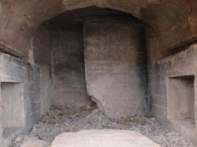
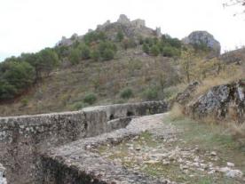
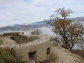
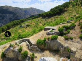
The Moclín trenches are located at the entrance to the village, behind the castle. They are a group of defensive constructions that were used during the Spanish Civil War. They include several lines of concrete trenches, stone parapets, a small concrete artillery bunker and a machine-gun post.
Moclín was occupied by the Nationalist side at the end of 1936, shortly before the construction of the post, between 1937 and 1938, and was used, as mentioned above, by the Nationalists who, from almost the beginning of the war, had occupied part of the province of Granada.
This post formed part of the front line in the area of Alcalá la Real, Moclín and Pinos Puente. It was known as La Cantera, due to the fact that part of the hill where it is located was used as a quarry for millstones.
It should be noted that the route has information panels to better understand the historical situation of this period, and how the conflict developed in Moclín and the surrounding area.

 Printing...


